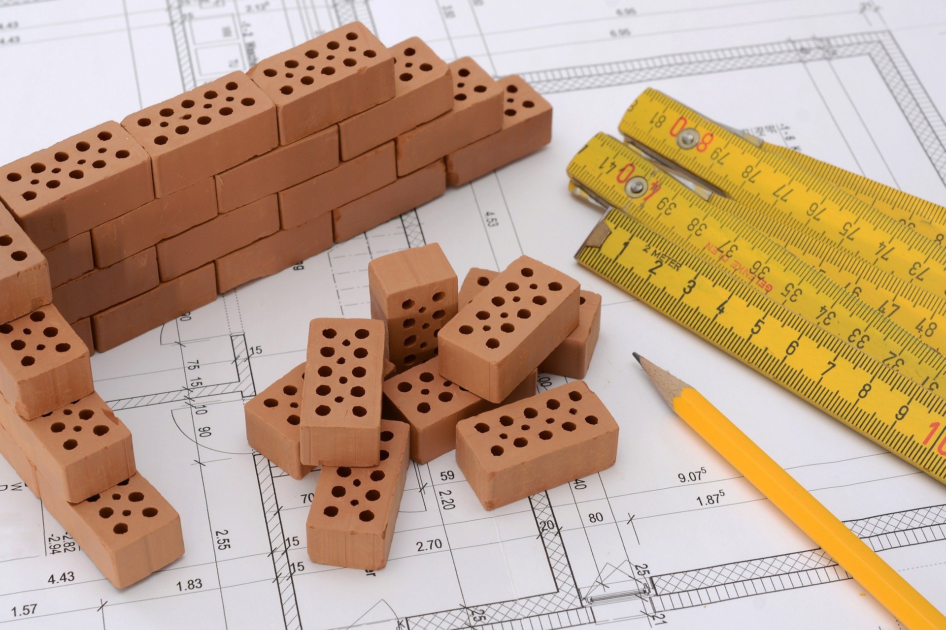
PARTYWALL SERVICES
We assist our clients acting as Adjoining owner’s surveyors, Building Owner surveyors, or agreed surveyors. Our specialists provide topographic surveying services, the formation of new land plots from municipal ownership for individual housing construction, private household plots with subsequent registration in license or lease.
Formation of a surveyor
We worked hard as a surveyor whenever necessary to carry out a study of land, whether construction building, urban planning, industry, geoformation, cartography, territory.
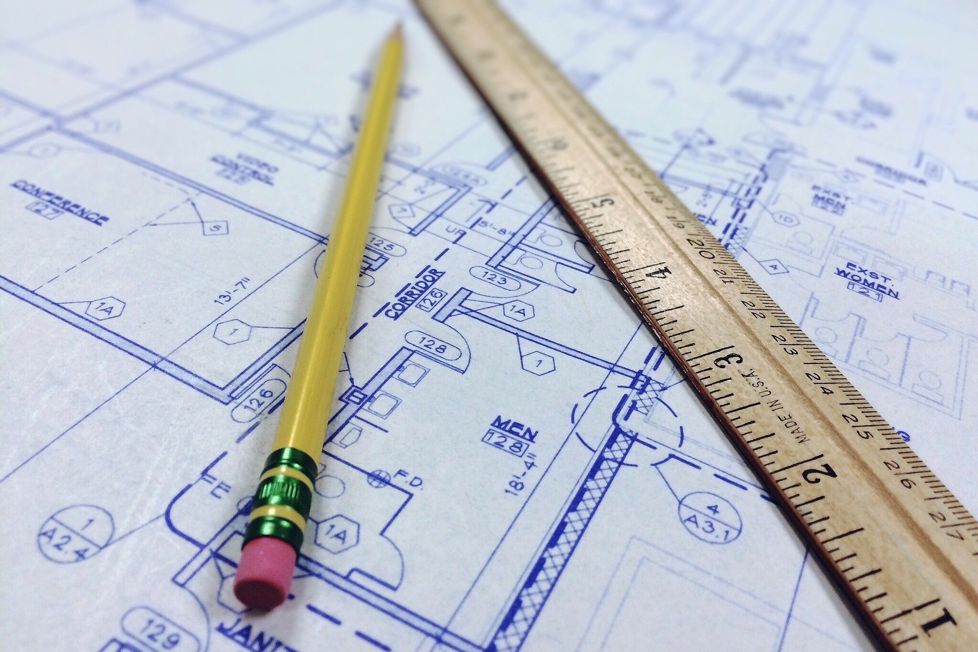
Our surveying team is highly qualified, has extensive experience, and has the latest generation technical means to satisfy its clients’ most specific needs. We can carry out any topography work, both applied to topographic surveys and assistance to results, building, leveling, networks and boundaries, and the preparation of georeferenced plans, generation of GML, and certificate.

STRUCTURAL VISION
After a series of studies and analyses, we reconstruct the orography of terrain on a flat surface, and to transfer the three-dimensionality, the three coordinate axes are used.

Professional service
We are enough competent professionals for the realization of cartographic and topographic work, the culmination of boundaries, stakeout, measurement, and valuation of rural and urban properties, as well as subdivisions, segregations, and groupings of parcels.

Surveyor Formation
We can carry out any topography work, both applied to topographic surveys and assistance to results, building, leveling, networks and boundaries. The preparation of georeferenced plans, generation of GML, and certificate of validation by the cadaster.
Sed ut perspiciatis unde omnis iste natus error sit voluptatem accusantium doloremque laudantium, totam rem sadips ipsums aperiam, eaque ipsa quae ab illo inventore veritatis et quasi architecto beatae vitae dicta sunt explicabo.
Sed ut perspiciatis unde omnis iste natus error sit voluptatem accusantium doloremque laudantium, totam rem sadips ipsums aperiam, eaque ipsa quae ab illo inventore veritatis et quasi architecto beatae vitae dicta sunt explicabo.
Precisely professionals know the terrain in greater detail and can find out and analyze elements that others would go unnoticed.
They also know the topographic techniques necessary to capture the reality of landscape on a plane, which is known as a topographic survey. Another of the topographers’ jobs is supporting analysis and control of environmental impact, management systems, and environmental legislation, environmental impact assessment, and preparation of environmental impact studies.